


 The mission of the Department of the Geographer is to accurately portray a working interpretation of the Department during the period from 1777 to 1783 with the express goal of portraying the world of the Continental Army staff officer better than has been achieved to date.
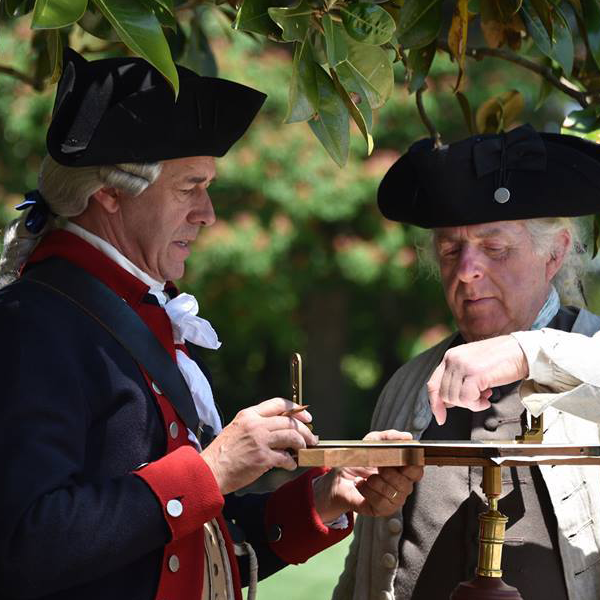
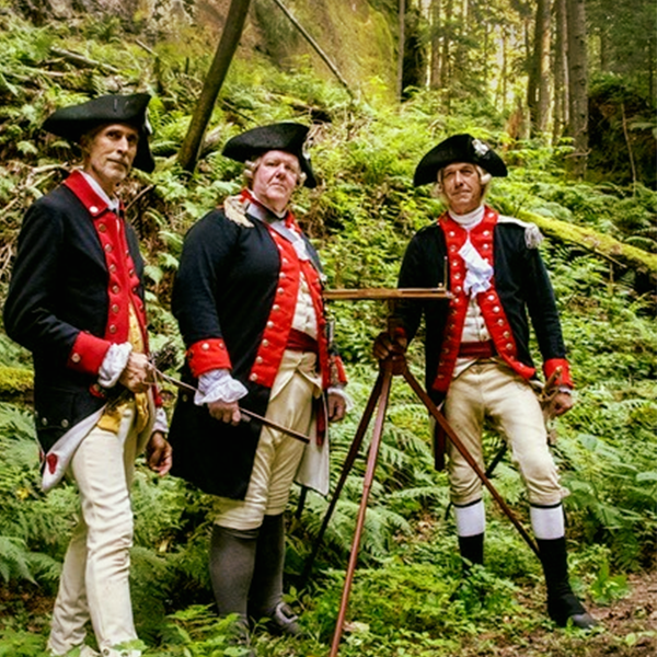
The Department of the Geographer is different in appearance and attitude than much of the Revolutionary War living history community. This is for a purpose. Other units make certain concessions to authenticity or may define themselves as “family organizations,” wherein membership quantity is paramount to quality. We do not. We define ourselves as a military organization in that we represent a staff department of Washington’s headquarters and we do our best to act like officers and soldiers on duty. During duty hours, we follow proper military protocols and soldiers are expected to live a soldier’s life. Our clothing is typically hand-finished and the materials all linen and wool, like what the men of the Continental Army would have worn. Our camp is functional, but not over-furnished. The purpose is present a faithful representation of what life in the Continental Army was like to those who hope to learn from the events we attend, but also that we may have a deeper appreciation for the lives of the men we say we represent.
This sort of living history is not for everyone. There are high expectations on all members, but they are quite attainable, and for those who do, very rewarding. You will have the satisfaction knowing that you are at the peak of the living history experience, not only educating the general public, but yourself as well. There is a gratifying feeling knowing that you know what you are doing, you are doing right, and you will soon find that you will be eager to continue to push the envelope. Along with this, you will find camaraderie among those around you. To those willing to take up the challenge, we welcome you.


