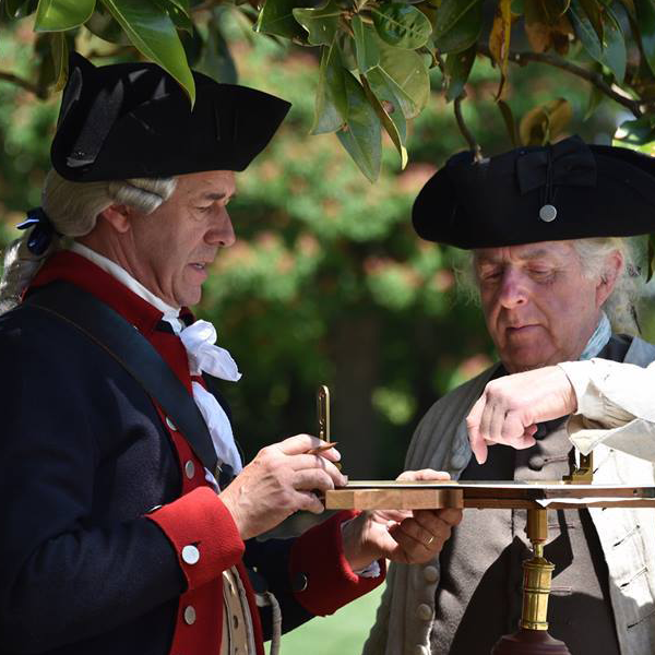
Pocket compasses were frequently used by surveyors and military officers to get their bearings. In some cases, they were even used to produce maps (like the plan of Charlestown, SC drawn by John Watkins of the Geographer‘s Department in 1778). 18th century examples generally range in size from 2.5 to 4 inches square, are made of mahogany, and use brass fittings. These compasses are also dry card instruments and usually have a feature that locks the needle in place when the compass is closed.